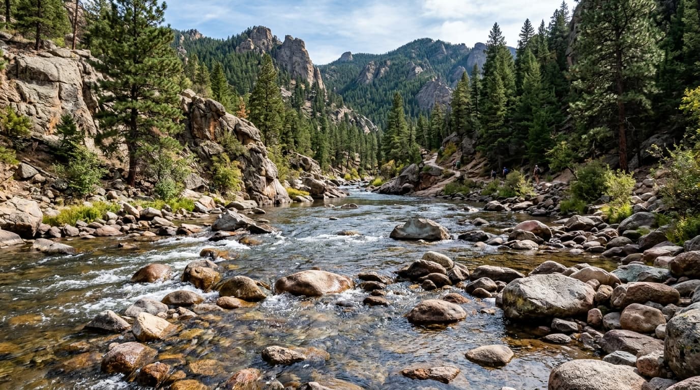
Kern River
Originates near Mount Whitney and flows down steep granite canyons. Thrilling continuous Class IV-V whitewater.
Live hydrological monitoring across 13 active USGS streamflow stations and 12 premier river corridors in California. From headwater freestone canyons to regulated tailwater fisheries, streamflows fluctuate dynamically with alpine runoff and agricultural schedules. ClearGauge translates raw USGS telemetry into plain-language flow-level verdicts. Conditions change quickly - always verify locally before entering any body of water.

Originates near Mount Whitney and flows down steep granite canyons. Thrilling continuous Class IV-V whitewater.

Released from Pine Flat Dam, the Kings River delivers intense dam-controlled Class IV whitewater through the Sierra Nevada foothills.

Situated at the exit of Yosemite Valley with views of Bridalveil Fall and El Capitan, this iconic gauge monitors high alpine snowmelt before the Merced drops into the Merced River Gorge.

A classic Sierra Nevada whitewater run cutting through an 800-foot wilderness gorge. Famous for the heart-pumping Tunnel Chute rapid, blasted through rock during the 1880s Gold Rush.

An undammed Wild and Scenic Sierra gem, the North Fork American features towering granite cliffs, crystal-clear emerald swimming pools, and demanding spring whitewater runs.

Monitoring California's largest river as it sweeps past the volcanic Bend Bridge reach, this expansive corridor is renowned for trophy wild rainbow trout, king salmon, and year-round boating.

A major agricultural and environmental artery for the Central Valley, critical for water management and delta health.

California's only undammed river system. World-class wild steelhead and Chinook salmon fishing through old-growth redwood forests.

The most popular commercial whitewater river in California, famous for historical Gold Rush sites and reliable summer dam releases.

The premier fly-fishing tailwater of Northern California. Flowing below Lewiston Dam, it offers clear cold water, year-round trout fishing, and famous runs of fall-run Chinook salmon and winter steelhead.

Flowing from Lake Tahoe through Reno to Pyramid Lake, the Truckee is a blue-ribbon trout fishery and an important water resource for the Great Basin.

Draining Yosemite National Park and the central Sierra Nevada, this lower tailwater section provides vital salmon spawning habitat and popular central California drift boating.
Verified answers regarding USGS stream gauges, real-time river flow, and flood alerts across California.
ClearGauge aggregates live hydrological telemetry for 13 USGS stream gauges across 12 major river basins throughout California. We translate raw stage (ft) and discharge (CFS) readings into clear, plain-language condition verdicts (Low, Normal, High, Flood Risk).
All river gauges in California are updated automatically every 15 minutes using satellite telemetry from the USGS National Water Information System (NWIS) and National Weather Service (NWS) flood forecast networks.
ClearGauge monitors 12 primary river corridors in California, providing full basin maps, interactive 7-day flow charts, flood risk warnings, and recreational safety guidance for anglers, kayakers, rafters, and boaters.
© 2026 ClearGauge. All rights reserved. Always verify conditions locally before you go.
OFFICIAL DATA SOURCE: USGS & NOAA