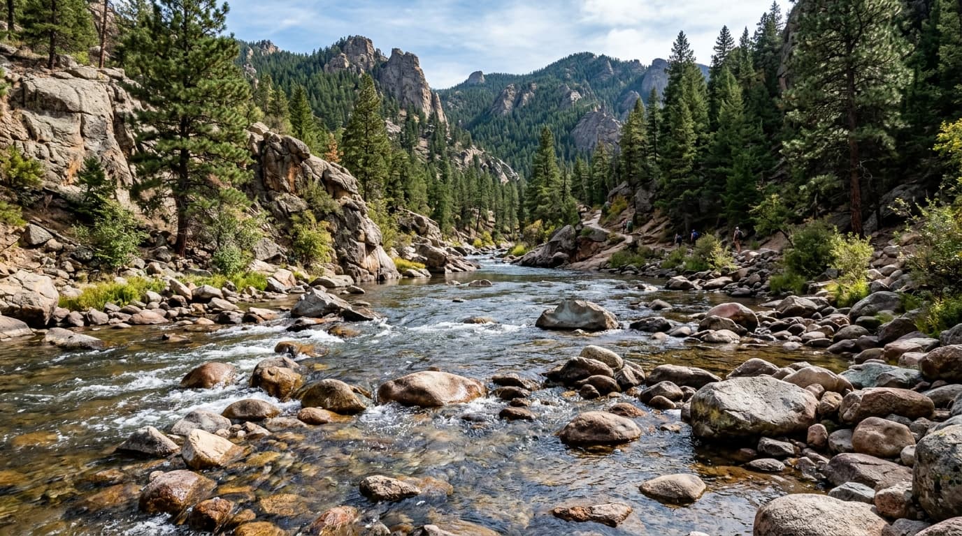
Animas River
Flowing free from the San Juan Mountains, the Animas River runs right through downtown Durango. It features the famous 'Smelter Rapid' and is widely used for rafting and gold-medal trout fishing.
Live hydrological monitoring across 17 active USGS streamflow stations and 12 premier river corridors in Colorado. From headwater freestone canyons to regulated tailwater fisheries, streamflows fluctuate dynamically with alpine runoff and agricultural schedules. ClearGauge translates raw USGS telemetry into plain-language flow-level verdicts. Conditions change quickly - always verify locally before entering any body of water.

Flowing free from the San Juan Mountains, the Animas River runs right through downtown Durango. It features the famous 'Smelter Rapid' and is widely used for rafting and gold-medal trout fishing.

Below the Royal Gorge, this gauge captures flows through one of the most dramatic canyons in Colorado after the intense whitewater sections.

Tracking tailwater releases below Dillon Dam in Silverthorne, this Gold Medal stretch is famous for trophy rainbow trout feeding in sight-fishing pools right beside the town trail.

A popular local creek for tubing, kayaking, and fishing right outside Boulder. Highly dependent on spring snowmelt.

Located near the entrance to Glenwood Canyon, this gauge tracks the mainstem Colorado just after the Eagle River confluence. Crucial for upper canyon rafters.

Rising high in the San Juan Mountains, the upper Dolores rushes into the town of Dolores before filling McPhee Reservoir, offering picturesque mountain snowmelt paddling and fly-fishing.

Tracking the lower Eagle River before its confluence with the Colorado River at Dotsero, this snowmelt-driven freestone stream provides thrilling late-spring rafting and productive trout wading.

Located within the dramatic depths of the Black Canyon of the Gunnison, this Gold Medal wilderness tailwater provides world-class remote float-fishing and intense canyon river running.

A world-class freestone trout river and whitewater run that merges with the Colorado River right in Glenwood Springs.

Flowing through downtown Denver's greenway park system, the urban South Platte is a surprising paddling gem and recovering trout fishery.

Flowing out of Taylor Canyon to form the Gunnison River at Almont, the Taylor is a world-renowned Rocky Mountain fishery known for heavy mysis shrimp feeds and technical class III-IV whitewater.

The last major free-flowing river in the Colorado River basin. Known for intense spring runoff and spectacular multi-day canyon rafting.
Verified answers regarding USGS stream gauges, real-time river flow, and flood alerts across Colorado.
ClearGauge aggregates live hydrological telemetry for 17 USGS stream gauges across 12 major river basins throughout Colorado. We translate raw stage (ft) and discharge (CFS) readings into clear, plain-language condition verdicts (Low, Normal, High, Flood Risk).
All river gauges in Colorado are updated automatically every 15 minutes using satellite telemetry from the USGS National Water Information System (NWIS) and National Weather Service (NWS) flood forecast networks.
ClearGauge monitors 12 primary river corridors in Colorado, providing full basin maps, interactive 7-day flow charts, flood risk warnings, and recreational safety guidance for anglers, kayakers, rafters, and boaters.
© 2026 ClearGauge. All rights reserved. Always verify conditions locally before you go.
OFFICIAL DATA SOURCE: USGS & NOAA