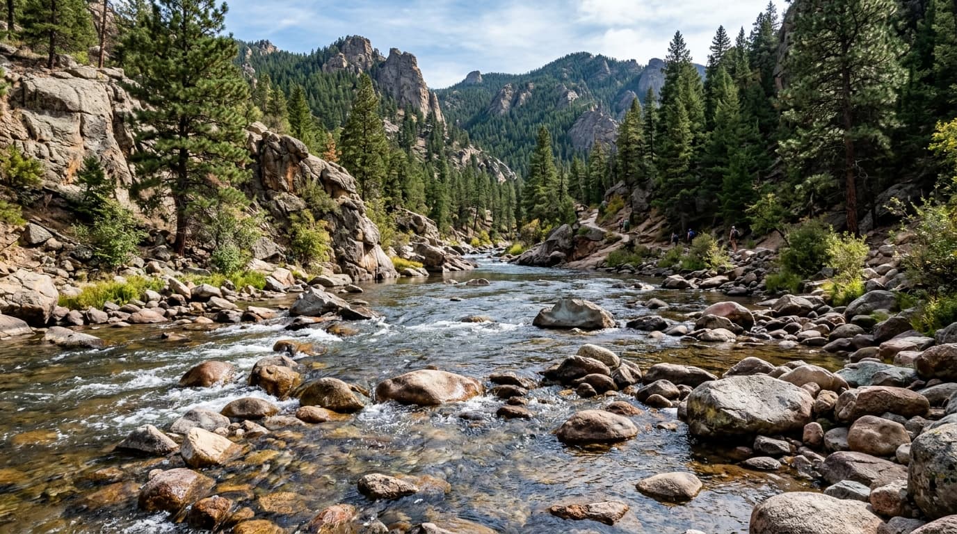
Boise River
Located above Arrowrock Dam in the rugged Boise Mountains, this pristine freestone reach captures major backcountry snowmelt feeding the Middle and North Forks of the Boise River.
Live hydrological monitoring across 15 active USGS streamflow stations and 10 premier river corridors in Idaho. From headwater freestone canyons to regulated tailwater fisheries, streamflows fluctuate dynamically with alpine runoff and agricultural schedules. ClearGauge translates raw USGS telemetry into plain-language flow-level verdicts. Conditions change quickly - always verify locally before entering any body of water.

Located above Arrowrock Dam in the rugged Boise Mountains, this pristine freestone reach captures major backcountry snowmelt feeding the Middle and North Forks of the Boise River.

One of America's premier continuous Class IV whitewater runs along Highway 12 in the Clearwater National Forest. World-renowned during spring snowmelt runoff for high-volume wave trains and punchy holes.

The undisputed crown jewel of American multi-day wilderness rafting in the Frank Church River of No Return Wilderness. Flows 100 miles through pristine canyon country with 100+ rapids and natural hot springs.

Tracking outflows directly from Payette Lake at McCall, this gauge monitors the headwaters of the North Fork before it plunges down steep granite canyons toward Banks.

One of the most accessible and exciting whitewater rivers in Idaho, featuring continuous Class III-IV rapids.

Monitors the upper stretches of the Salmon River before it enters the deep wilderness canyons.

One of the most pristine and strictly permitted wilderness rivers in the world, the Selway flows through the Selway-Bitterroot Wilderness with crystal-clear waters and continuous, technical whitewater.

Monitoring the famed South Fork of the Snake River as it emerges from the canyon above Heise, this reach is hailed nationwide as an elite dry fly fishery for native Yellowstone cutthroat trout.

A premier whitewater destination in the Boise National Forest, the South Fork Payette boasts legendary Class IV-V rapids including the Canyon Section and natural riverside hot springs.

A historic gold mining river now popular for its scenic beauty and recovering salmon populations.
Verified answers regarding USGS stream gauges, real-time river flow, and flood alerts across Idaho.
ClearGauge aggregates live hydrological telemetry for 15 USGS stream gauges across 10 major river basins throughout Idaho. We translate raw stage (ft) and discharge (CFS) readings into clear, plain-language condition verdicts (Low, Normal, High, Flood Risk).
All river gauges in Idaho are updated automatically every 15 minutes using satellite telemetry from the USGS National Water Information System (NWIS) and National Weather Service (NWS) flood forecast networks.
ClearGauge monitors 10 primary river corridors in Idaho, providing full basin maps, interactive 7-day flow charts, flood risk warnings, and recreational safety guidance for anglers, kayakers, rafters, and boaters.
© 2026 ClearGauge. All rights reserved. Always verify conditions locally before you go.
OFFICIAL DATA SOURCE: USGS & NOAA