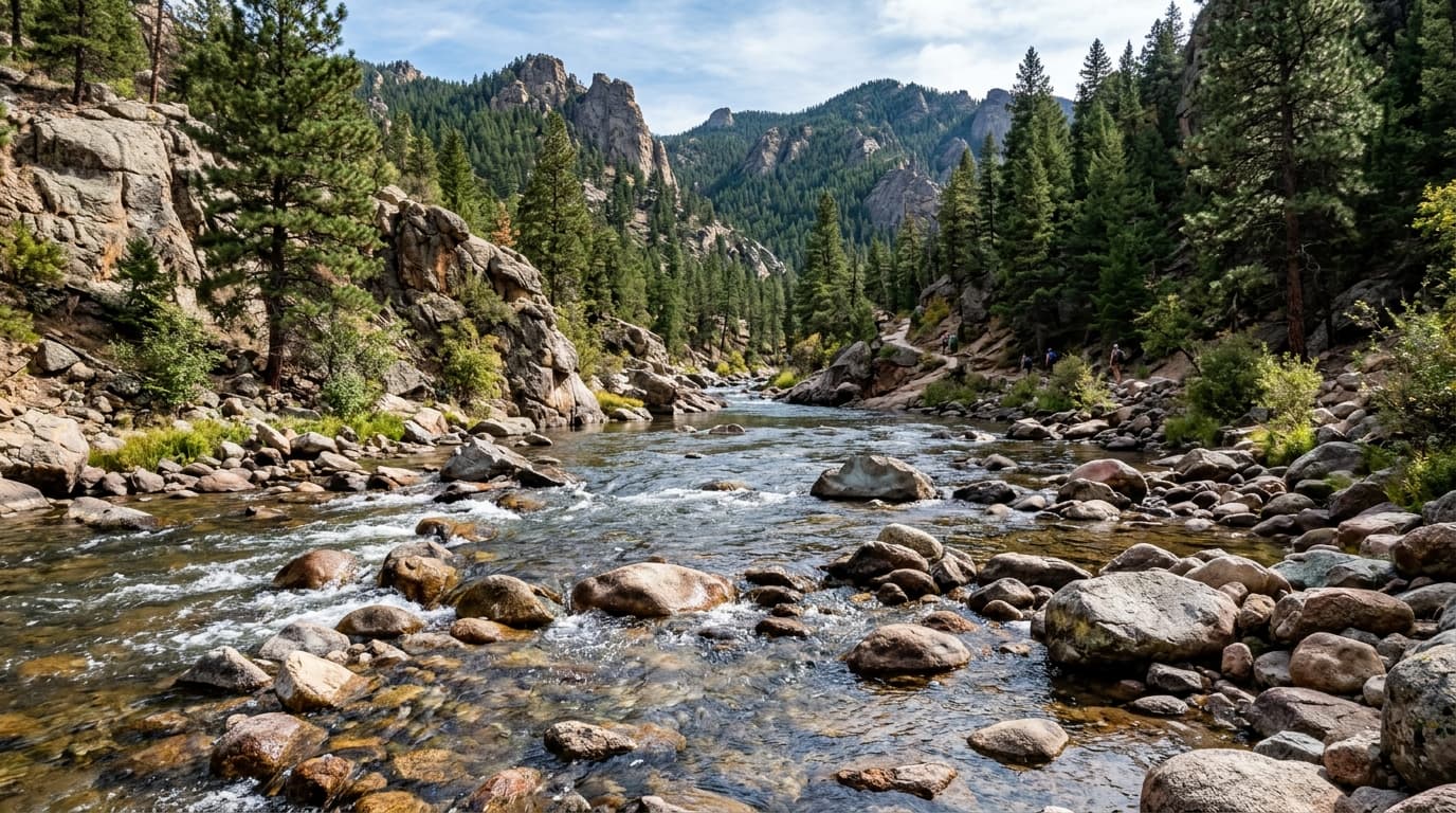
Bighorn River
One of North America's legendary tailwater trout fisheries, sustaining enormous populations of wild brown and rainbow trout per mile. Flow is controlled by Yellowtail Dam, offering year-round consistent conditions.
Live hydrological monitoring across 16 active USGS streamflow stations and 9 premier river corridors in Montana. From headwater freestone canyons to regulated tailwater fisheries, streamflows fluctuate dynamically with alpine runoff and agricultural schedules. ClearGauge translates raw USGS telemetry into plain-language flow-level verdicts. Conditions change quickly - always verify locally before entering any body of water.

One of North America's legendary tailwater trout fisheries, sustaining enormous populations of wild brown and rainbow trout per mile. Flow is controlled by Yellowtail Dam, offering year-round consistent conditions.

Meandering through the picturesque Bitterroot Valley between the Sapphire and Bitterroot mountain ranges, this river is celebrated for epic Skwala stonefly hatches and gentle raft floating.

The iconic freestone river immortalized in Norman Maclean's 'A River Runs Through It'. Celebrated for canyon whitewater, scenic ponderosa pine cliffs, and world-class dry-fly trout fishing.

Capturing flows from the Blackfoot and upper Clark Fork basins, this key gauge monitors river volume just upstream from Missoula's vibrant urban river surfing and paddling corridor.

Bordering Glacier National Park, the Middle Fork Flathead is a federally protected Wild and Scenic river featuring pristine glacial waters, John Stevens Canyon whitewater, and native westslope cutthroat trout.

Famous as the filming location for 'A River Runs Through It', offering iconic canyon whitewater and blue-ribbon fishing.

Tracking the lower Madison River as it flows through the dramatic Beartrap Canyon wilderness, this reach features thrilling Class IV whitewater and renowned brown and rainbow trout fishing.

A legendary tailwater trout fishery in Montana. The Missouri River below Holter Dam offers some of the most consistent and prolific dry fly fishing for wild brown and rainbow trout in the country.

Monitoring the mighty Yellowstone River as it carves past the sandstone Rimrocks of Billings, this expansive undammed corridor supports warmwater recreation, catfish, walleye, and sauger angling.
Verified answers regarding USGS stream gauges, real-time river flow, and flood alerts across Montana.
ClearGauge aggregates live hydrological telemetry for 16 USGS stream gauges across 9 major river basins throughout Montana. We translate raw stage (ft) and discharge (CFS) readings into clear, plain-language condition verdicts (Low, Normal, High, Flood Risk).
All river gauges in Montana are updated automatically every 15 minutes using satellite telemetry from the USGS National Water Information System (NWIS) and National Weather Service (NWS) flood forecast networks.
ClearGauge monitors 9 primary river corridors in Montana, providing full basin maps, interactive 7-day flow charts, flood risk warnings, and recreational safety guidance for anglers, kayakers, rafters, and boaters.
© 2026 ClearGauge. All rights reserved. Always verify conditions locally before you go.
OFFICIAL DATA SOURCE: USGS & NOAA