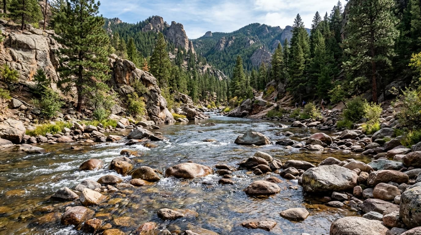
Clackamas River
The upper Clackamas River flows through old-growth forests in the Mount Hood National Forest, offering premier Pacific Northwest whitewater and prime cold-water habitat for native coho salmon and wild winter steelhead.
Live hydrological monitoring across 18 active USGS streamflow stations and 16 premier river corridors in Oregon. From headwater freestone canyons to regulated tailwater fisheries, streamflows fluctuate dynamically with alpine runoff and agricultural schedules. ClearGauge translates raw USGS telemetry into plain-language flow-level verdicts. Conditions change quickly - always verify locally before entering any body of water.

The upper Clackamas River flows through old-growth forests in the Mount Hood National Forest, offering premier Pacific Northwest whitewater and prime cold-water habitat for native coho salmon and wild winter steelhead.

A massive river system famous for salmon and steelhead runs, as well as windsurfing in the Columbia River Gorge.

A world-class trout and summer steelhead river carved through Central Oregon's basalt canyons.

The Hood River drains the northern glaciers of Mount Hood through deep volcanic canyons into the Columbia River Gorge. Revered by whitewater kayakers for steep continuous rapids and by anglers for aggressive winter steelhead runs.

An iconic wild tributary of the Rogue River carving through the remote Kalmiopsis Wilderness, legendary for turquoise pools, challenging wilderness whitewater, and exceptional botanic diversity.

One of the longest undammed river systems in the continental U.S., coursing through dramatic desert basalt canyons and ancient fossil beds with world-class multi-day canoeing and bass fishing.

A classic drift-fishing and whitewater destination in the western Cascades known for its clear blue-green water.

The spring-fed Metolius River emerges fully formed from volcanic aquifers beneath Black Butte, maintaining exceptional clarity, cold flows, and world-class fly-fishing for wild redband and bull trout.

Draining the central Oregon Cascades, this major Willamette tributary supports active drift boat fly-fishing for rainbow and cutthroat trout alongside accessible intermediate paddling and rafting runs.

The longest river in the northern Oregon Coast Range, meandering through lush hemlock forests before entering Nehalem Bay. Famed for wild fall Chinook, coho salmon, and scenic coastal paddling.

Originating in the Cascade Range, the North Santiam provides reliable spring and summer dam-release whitewater paddling and exceptional drift boat fishing for summer steelhead and Chinook salmon.

An internationally acclaimed fly-fishing sanctuary in southwestern Oregon's Cascade Range, celebrated for crystal-clear emerald pools, rugged basalt ledges, and iconic summer steelhead runs.

A key upper-reach monitoring gauge on southwestern Oregon's famed Rogue River, capturing major inflows above the wild and scenic canyon sections cherished by rafters and salmon anglers.

Born from Mount Hood's glaciers, the Sandy River is a wild salmon stream and popular steelhead and sturgeon fishery just east of Portland.

Flowing off the western slopes of the Oregon Cascades through scenic forested foothills, the South Santiam provides popular drift-boat access for winter steelhead and spring Chinook salmon.

Winding through the temperate coastal rainforest of the Tillamook State Forest toward Tillamook Bay, this premier coastal fishery draws anglers and whitewater kayakers following Pacific winter storms.
Verified answers regarding USGS stream gauges, real-time river flow, and flood alerts across Oregon.
ClearGauge aggregates live hydrological telemetry for 18 USGS stream gauges across 16 major river basins throughout Oregon. We translate raw stage (ft) and discharge (CFS) readings into clear, plain-language condition verdicts (Low, Normal, High, Flood Risk).
All river gauges in Oregon are updated automatically every 15 minutes using satellite telemetry from the USGS National Water Information System (NWIS) and National Weather Service (NWS) flood forecast networks.
ClearGauge monitors 16 primary river corridors in Oregon, providing full basin maps, interactive 7-day flow charts, flood risk warnings, and recreational safety guidance for anglers, kayakers, rafters, and boaters.
© 2026 ClearGauge. All rights reserved. Always verify conditions locally before you go.
OFFICIAL DATA SOURCE: USGS & NOAA