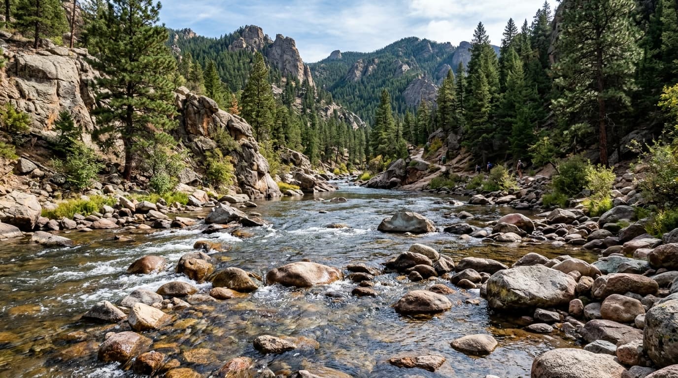
Cedar River
Descending from the Cascade Mountains into Lake Washington, the Cedar River is an environmentally restored corridor supporting vital sockeye and Chinook salmon migration through King County.
Live hydrological monitoring across 15 active USGS streamflow stations and 15 premier river corridors in Washington. From headwater freestone canyons to regulated tailwater fisheries, streamflows fluctuate dynamically with alpine runoff and agricultural schedules. ClearGauge translates raw USGS telemetry into plain-language flow-level verdicts. Conditions change quickly - always verify locally before entering any body of water.

Descending from the Cascade Mountains into Lake Washington, the Cedar River is an environmentally restored corridor supporting vital sockeye and Chinook salmon migration through King County.

A major coastal river system in Washington known for salmon and steelhead fishing.

Draining the high alpine slopes between Mount Rainier and Mount Adams, the upper Cowlitz features braided gravel bars, glacial snowmelt runoff, and seasonal trout and salmon fishing.

Originating in the central Cascades, the upper Green River flows through rugged forested gorge terrain, serving as vital municipal watershed land and a favored run for experienced whitewater kayakers.

A crucial river for Puget Sound salmon runs and a popular paddling corridor near Seattle.

Carving a deep volcanic canyon along the eastern flanks of Mount Adams into the Columbia River Gorge, the Klickitat is famed for wild steelhead fly-fishing and exciting spring whitewater runs.

A premier destination in the North Cascades for summer rafting and blue-ribbon trout fishing through an arid river valley.

Originating at the Nisqually Glacier on Mount Rainier, this glacial river flows 81 miles to a protected estuary on Puget Sound, offering productive salmon angling and scenic forested floating.

Draining the central Cascade Mountains, the 'Sky' is famous among expert kayakers for the notorious Boulder Drop (Class IV-V) and among Northwest anglers for legendary winter steelhead returns.

Draining the central Washington Cascades past iconic Snoqualmie Falls, the lower river winds through scenic agricultural valleys toward Puget Sound, heavily monitored during winter rain events.

The Spokane River flows right through downtown Spokane with impressive urban whitewater. A key river for salmon migration and municipal water supply.

Flowing into Lake Chelan in the North Cascades, accessible only by boat or floatplane.

Washington's most popular commercial whitewater rafting river. Emerging from the Bavarian-themed town of Leavenworth, it delivers high-volume sunshine rapids and huge rolling wave trains through Cashmere.

A spring-fed, glacially cold river carving a deep volcanic gorge in the Columbia River Gorge. Celebrated for sparkling turquoise water, nonstop Class III-IV rapids, and the iconic commercial drop over Husum Falls.

Located in the heart of the scenic Yakima River Canyon, this gauge monitors Washington's only Blue Ribbon trout fishery, celebrated for canyon float trips and wild rainbow trout hatches.
Verified answers regarding USGS stream gauges, real-time river flow, and flood alerts across Washington.
ClearGauge aggregates live hydrological telemetry for 15 USGS stream gauges across 15 major river basins throughout Washington. We translate raw stage (ft) and discharge (CFS) readings into clear, plain-language condition verdicts (Low, Normal, High, Flood Risk).
All river gauges in Washington are updated automatically every 15 minutes using satellite telemetry from the USGS National Water Information System (NWIS) and National Weather Service (NWS) flood forecast networks.
ClearGauge monitors 15 primary river corridors in Washington, providing full basin maps, interactive 7-day flow charts, flood risk warnings, and recreational safety guidance for anglers, kayakers, rafters, and boaters.
© 2026 ClearGauge. All rights reserved. Always verify conditions locally before you go.
OFFICIAL DATA SOURCE: USGS & NOAA