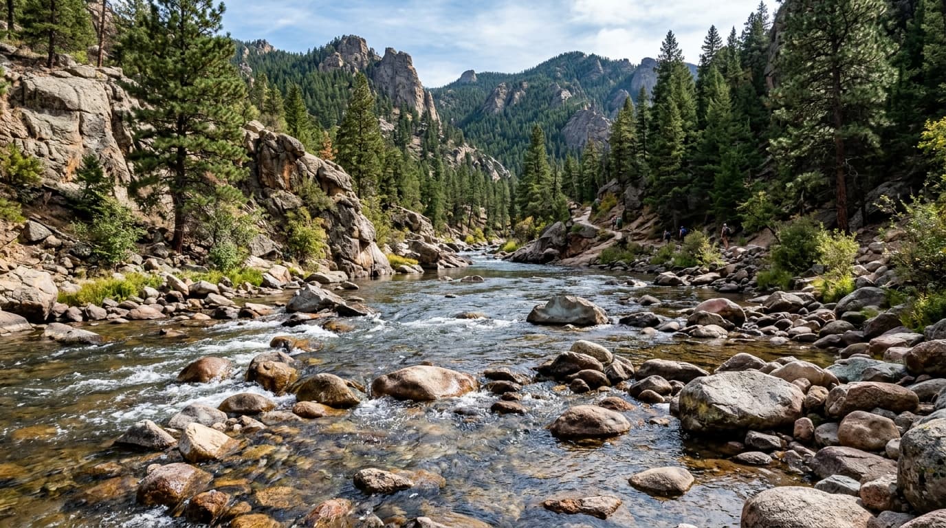
St. Croix River
One of America's original Wild and Scenic rivers, flowing through spectacular gorges and pine forests on the MN/WI border.
Live hydrological monitoring across 1 active USGS streamflow stations and 1 premier river corridors in Wisconsin. From headwater freestone canyons to regulated tailwater fisheries, streamflows fluctuate dynamically with alpine runoff and agricultural schedules. ClearGauge translates raw USGS telemetry into plain-language flow-level verdicts. Conditions change quickly - always verify locally before entering any body of water.

One of America's original Wild and Scenic rivers, flowing through spectacular gorges and pine forests on the MN/WI border.
Verified answers regarding USGS stream gauges, real-time river flow, and flood alerts across Wisconsin.
ClearGauge aggregates live hydrological telemetry for 1 USGS stream gauges across 1 major river basins throughout Wisconsin. We translate raw stage (ft) and discharge (CFS) readings into clear, plain-language condition verdicts (Low, Normal, High, Flood Risk).
All river gauges in Wisconsin are updated automatically every 15 minutes using satellite telemetry from the USGS National Water Information System (NWIS) and National Weather Service (NWS) flood forecast networks.
ClearGauge monitors 1 primary river corridors in Wisconsin, providing full basin maps, interactive 7-day flow charts, flood risk warnings, and recreational safety guidance for anglers, kayakers, rafters, and boaters.
Β© 2026 ClearGauge. All rights reserved. Always verify conditions locally before you go.
OFFICIAL DATA SOURCE: USGS & NOAA