
The Diurnal Runoff Cycle: Why Mountain Rivers Rise Every Afternoon and Evening
Why alpine rivers surge during the afternoon without a drop of rain, how travel lag time affects downstream gauges, and how to time spring put-ins.
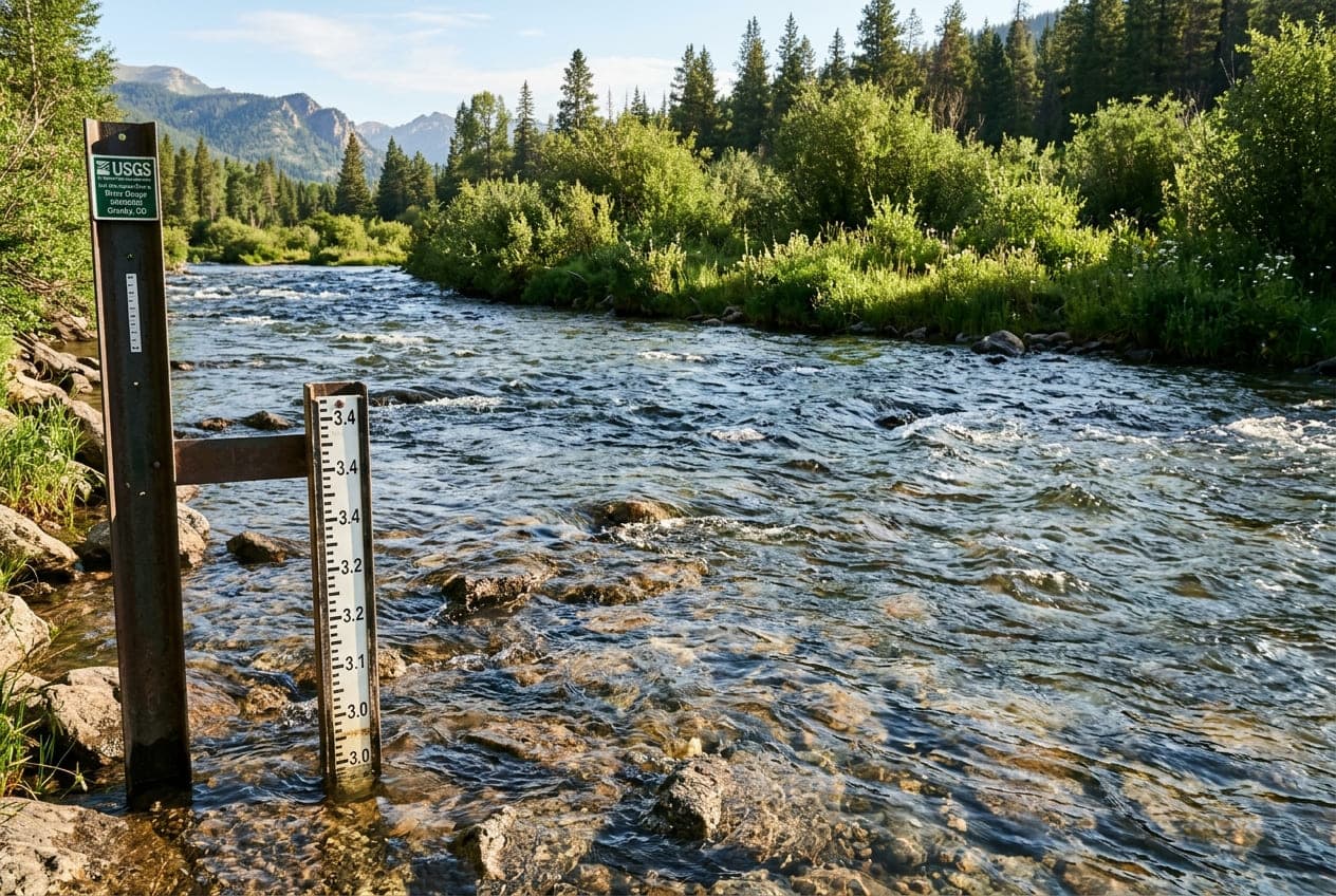
You put your raft or kayak in the river at 9:00 in the morning under a cloudless blue sky. The water is clear, cold, and running at a gentle 600 CFS. You stop on a sunny gravel bar for lunch, row through a couple of playful riffles, and pull up to your take-out ramp around 5:30 in the evening.
Except the river you take out on looks nothing like the river you launched on.
The water has turned a soupy gray-brown. The gravel bar where you parked your shuttle vehicle is underwater. Sticks and pine cones are bobbing in the foam lines, and the USGS streamgage reading has jumped from 600 CFS to nearly 1,500 CFS.
Not a single drop of rain fell all day. What happened?
You just experienced the diurnal runoff cycle—the daily heartbeat of every snowmelt-fed mountain river in North America.
How the Sun Drives Daily Streamflow
During spring and early summer in the Rocky Mountains, the Pacific Northwest Cascades, and the Sierra Nevada, snowpack melt is driven almost entirely by solar radiation and ambient air temperature, not rainfall.
The cycle follows a predictable 24-hour rhythm:
- Morning Low (The Trough): Overnight, air temperatures in the high alpine drop. The snowpack freezes or crusts over, shutting down the melt. The smallest amount of meltwater enters the headwater streams between 4:00 AM and 8:00 AM.
- Midday Solar Peak: As the sun climbs, solar energy bakes the snowfields between 11:00 AM and 2:00 PM. Snowmelt accelerates dramatically, turning dry gullies and mountain meadows into rushing torrents.
- The Travel Lag: That melted snow does not teleport to the valley floor instantly. It has to percolate through porous alpine snow layers, trickle down steep scree fields, gather in high mountain creeks, and travel miles down winding canyon riverbeds.
- Evening Peak (The Crest): Depending on how far the monitoring gauge is from the snowfields, the surge of water finally reaches the main river between late afternoon and midnight.
Peak Alpine Sun:        1:00 PM – 2:00 PM
Meltwater Travel Lag:   4 to 10 Hours
Valley Gauge Peak:      6:00 PM – Midnight
Understanding Travel Lag Time by Basin Size
The distance between the melting snowpack and the river gauge determines when the river peaks:
Small Headwater Creeks (1 to 3 Hour Lag)
In steep, high-elevation creeks (like Colorado's upper Taylor River or Washington's upper White Salmon), the distance to the snowfields is short. A warm, sunny morning will start showing up on the hydrograph by 2:00 PM or 3:00 PM.
Mid-Sized Canyon Rivers (4 to 8 Hour Lag)
On classic Western whitewater and fishing rivers (like the Arkansas River near Salida, the Middle Fork Salmon in Idaho, or the Tuolumne in California), the snowmelt crest typically arrives between 5:00 PM and 9:00 PM. The river will be at its lowest, cleanest flow while you are packing your boat in the morning, and at its highest, muddiest level right around dinner.
Large Basin Rivers (10 to 18 Hour Lag)
On massive, sprawling river systems like the lower Yellowstone at Billings or the Columbia River, the melt pulse from distant mountain ranges can take nearly a full day to arrive. On these rivers, yesterday's afternoon snowmelt often crests at the gauge early the following morning.
The Critical Metric: The Overnight Freezing Level
If you want to know whether a river's daily diurnal spike will be a gentle bump or an explosive blowout, check the overnight freezing level in the mountain weather forecast.
- If Alpine Temps Drop Below 32°F Overnight: The snowpack refreezes solid (forming a hard "corn" crust). Melting stops cold during the night, and tomorrow's sun will spend the first several hours of the morning just warming the snow back to 32 degrees before liquid water starts running again. This produces clean, manageable daily pulses.
- If Alpine Temps Stay Above 40°F Overnight: The snowpack never refreezes. Water drains from the snowfields 24 hours a day without stopping. When the next day's sun hits an already-saturated snowpack, the new melt stacks directly on top of the old melt, triggering massive multi-day floods that can overwhelm roads and flood riverside campgrounds.
Reading the Hydrograph Sawtooth
When you look at a 7-day hydrograph on ClearGauge during May or June, a snowmelt-driven river creates a textbook sawtooth pattern.
Every single day features a sharp peak in the evening followed by a steady drop through the early morning hours:
- Look at the Amplitude: If the daily difference between the morning low and the evening high is growing larger each day, the snowpack is ripening and the melt is accelerating.
- Look at the Baseline: If each morning's trough is higher than the previous morning's trough, the river is on a multi-day upward surge.
How to Plan Your River Trip Around the Diurnal Wave
Understanding this daily cycle gives you a huge tactical advantage on the water:
For Whitewater Boaters
If a river run is at the upper limit of your skill level, put in early. Launching at 8:30 AM lets you run the meat of the rapids during the morning trough when the current is slower, holes are less sticky, and rocks have predictable cushions. If you wait until 4:00 PM to drop into a steep canyon, you will be running the hardest rapids right as the peak surge hits.
For Anglers
Trout hate sudden, dirty surges. When the afternoon runoff pulse hits, water temperatures plummet from freezing snowmelt, clarity drops from suspended granite silt, and fish tuck tight into bankside willow pockets to escape the heavy current.
Fish hard from 7:30 AM until early afternoon while the river is dropping, clear, and stable. Once the water turns cloudy and sticks start drifting past, pack up your rods and head into town for dinner.
Want to see this in action? Check real-time river conditions near you.
Explore All Rivers →