
Connecting Rainfall QPF to River Spikes: How to Anticipate Flow Changes
How to use National Weather Service Quantitative Precipitation Forecasts (QPF) and watershed drainage sizes to forecast river surges before gauges update.
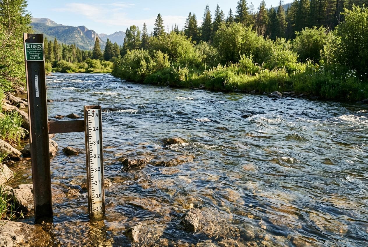
When heavy weather moves through your region, you don't have to wait for USGS river gauges to spike before knowing how streamflows will respond.
By combining radar estimates, National Weather Service (NWS) forecasting tools, and drainage basin characteristics, you can forecast river rises hours—or even days—before the water reaches your favorite gauge.
1. What is QPF (Quantitative Precipitation Forecast)?
The National Oceanic and Atmospheric Administration (NOAA) and the National Weather Service issue regular Quantitative Precipitation Forecasts (QPF).
Unlike a standard weather forecast that predicts a "70% chance of rain," QPF provides an expected liquid precipitation volume (in inches) expected to fall across specific geographic watersheds over a defined time window (e.g., 6 hours, 24 hours, or 72 hours).
Interpreting QPF for River Users
- 0.1 to 0.25 inches: Minor impact; mostly absorbed by soil and forest canopy; negligible effect on streamflow unless the ground is already saturated.
- 0.5 to 1.0 inch: Noticeable rise on small and medium watersheds; discoloration and slight increase in CFS.
- 1.5 to 3.0+ inches: Significant surge; small streams may exceed bankfull stage; large rivers will experience steep rising limbs on their hydrographs over the following 24 to 48 hours.
2. Soil Moisture and Antecedent Precipitation Index (API)
A 1-inch rainfall event does not always produce the same runoff. The single biggest variable is the soil's current moisture state:
The Dry Sponge Effect (Low Antecedent Moisture)
During prolonged summer dry spells, parched soils act like a dry sponge. A 1-inch downpour might be absorbed almost entirely by the topsoil and subterranean aquifers, causing only a brief, minor ripple on local streamflow charts.
The Saturated Watershed (High Antecedent Moisture)
If a region has received consistent rainfall over the previous week, the soil's infiltration capacity is exhausted. The ground cannot absorb any additional water. In this scenario, virtually 100% of the new rain runs off directly into creeks and ditches, creating an immediate, violent river spike.
3. Watershed Drainage Area and Shape
Every USGS streamgage monitors a specific Drainage Area (measured in square miles), which is displayed in the station's official metadata.
Understanding the size and shape of the watershed upstream of your gauge is critical:
Compact, Steep Basins (Flashy Streams)
- Characteristics: High-gradient mountain creeks, canyon runs, and urban watersheds (under 100 sq miles).
- Hydrograph Behavior: Extremely fast reaction time (lag time of 1 to 4 hours). Water rises steeply, crests quickly, and drops back down rapidly once rainfall stops.
Elongated, Large Basins
- Characteristics: Major river valleys draining hundreds or thousands of square miles (e.g., the Delaware, Susquehanna, or Missouri).
- Hydrograph Behavior: Substantial lag time (often 24 to 72 hours). Even after the sun comes out and local rain has ended, water draining from hundreds of miles upstream continues to feed the main channel, causing water levels to rise steadily days after the storm.
4. How to Plan Your River Outing Around Rain Events
When tracking approaching weather on ClearGauge:
- Check Radar History: Look at where the heaviest storm cells tracked relative to the headwaters. Rain falling downstream of a gauge will not be measured by that sensor!
- Review NWS Flood Watches: The National Weather Service continuously models river responses through regional River Forecast Centers (RFCs). When flood risk is detected, NWS issues Flood Watches before stages rise.
- Wait for the Hydrograph Crest: If you plan to kayak, fish, or camp near a river, avoid arriving while the hydrograph is in its steep rising limb. Target the stabilizing crest or early falling limb for cleaner, safer conditions.
Want to see this in action? Check real-time river conditions near you.
Explore All Rivers →