
Drift Boat vs. Raft Flow Clearance: What CFS Do You Actually Need?
How much water do you need to float a hard-bottom drift boat versus an inflatable raft? Draft depths, reading shallow gravel bars, and avoiding cracked fiberglass.
Every rower who has owned both a hard-bottom drift boat and an inflatable raft knows the sinking feeling of that sudden hollow thud against fiberglass. You thought you had enough water in the tailout, you took a stroke to pull off the gravel bar, and your boat ground to a dead stop while the current swung your stern sideways into a boulder.
When you look at a river gauge before hooking up the trailer, the big question is always the same: Is there enough water to float the boat, or are we dragging bottom all day?
The answer depends on what you are rowing, how much gear you have on board, and how wide the riverbed is where the flow spreads out.
Hard Boats vs. Inflatables: The Real Draft Numbers
Draft is the vertical distance between the waterline and the lowest point of your hull. On paper, most boat builders list impressive draft numbers when an empty hull sits in calm water. In the real world, fully rigged with an anchor, three adults, a cooler full of ice, and spare oars, your operating draft changes completely.
| Craft Type | Empty Hull Draft | Fully Rigged Working Draft | Dynamic Rowing Draft (Stern Dip) |
|---|---|---|---|
| Fiberglass Drift Boat (16 ft) | 4 to 5 inches | 7 to 9 inches | 10 to 12 inches |
| Aluminum Drift Boat (16 ft) | 4 to 5 inches | 6 to 8 inches | 9 to 11 inches |
| Self-Bailing Raft with Frame (14 ft) | 2 to 3 inches | 4 to 5 inches | 5 to 6 inches |
| Two-Person Fishing Raft (10–12 ft) | 1.5 to 2 inches | 3 to 4 inches | 4 to 5 inches |
The "Stern Dip" Factor
When you back-row against heavy current to slow your boat down, the physics of water piling against your transom pushes the stern downward. A fiberglass drift boat that floats across a calm 8-inch flat will suddenly drag its bottom the second you pull hard on the oars to miss a rock.
Rafts flex. When a raft tube hits a submerged gravel shelf at low flow, the PVC or Hypalon slides over the stone and absorbs the impact. In a fiberglass boat, that same impact chips your gelcoat or cracks the structural chine.
Why CFS Alone Does Not Tell You River Depth
A common mistake is assuming that a specific flow—say, 500 CFS—means the same water depth everywhere.
CFS measures volume, not depth. Five hundred cubic feet per second flowing through a tight, 30-foot-wide canyon can create a 6-foot-deep channel that you could run an ocean tugboat through. But take that same 500 CFS onto a braided Western tailwater that is 200 yards wide, and the river spreads into three shallow braids with barely 3 inches of water over the gravel.
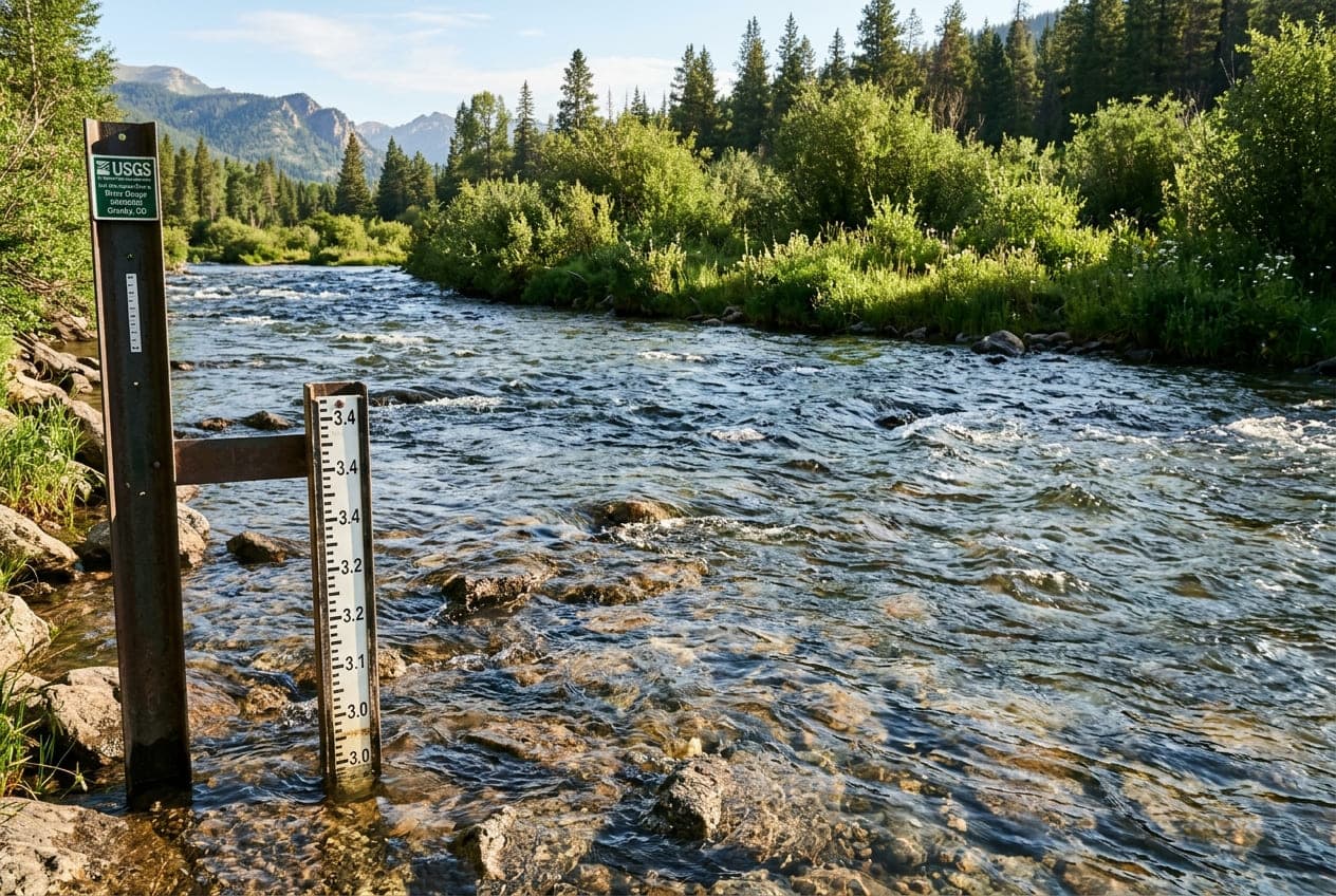
When checking flows on ClearGauge, look at the gauge height (stage in feet) alongside the discharge. Gauge height tells you how high the river surface sits relative to the local streambed. A drop of just two inches on the gauge can turn a clean drift boat float into an exhausting day of hopping out on slippery rocks to push.
How to Read Shallow Channels from the Oars
When water levels drop into the lower threshold for your boat, you have to read the river surface at least two boat-lengths earlier than you would at high water.
1. Spotting the Downstream "V"
Deep water moving through a shallow riffle forms a smooth, dark tongue that points downstream like an arrowhead ($\lor$). The tip of that "V" is where the current is fastest and the gravel bed is scoured deepest. Aim your bow directly down the center of the tongue.
2. Avoiding the Upstream "V"
If you see a "V" on the water surface with the point facing upstream towards you ($\land$), that is water splitting around a submerged boulder or a shallow gravel mound. If you row into the point of an upstream "V", you are landing straight on the shallowest spot in the river.
3. The Outside Bank Rule
In winding rivers, current always scours the deepest water along the outside of the bend. The inside of the bend collects gravel and silt, forming a shallow shelf. Even if the outside bend looks tighter and more intimidating with overhanging brush, the inside bend is almost guaranteed to ground a drift boat when flows are low.
Practical Flow Benchmarks on Classic Rivers
Every river has a line where hard-bottom drift boats should stay home and rafts take over:
- Upper Colorado River (Pumphouse to Dotsero): At 1,200 CFS or higher, hard drift boats float easily. Between 700 and 1,000 CFS, experienced rowers can pick clean lines, but you will scrape gravel on the wide flats. Below 600 CFS, leave the hard boat on the trailer and take a raft.
- Deschutes River (Warm Springs to Maupin): Because the Deschutes is spring-fed and regulated by Pelton Dam, it rarely drops below 3,500 CFS, making it a reliable hard-boat river year-round. However, low-water lines in Whitehorse Rapids shift dramatically when flows dip in late autumn.
- South Holston & Watauga (Tennessee): These Southeastern tailwaters depend entirely on TVA dam generation. On "zero generation" (no turbines running, roughly 100 to 200 CFS), hard boats will scrape repeatedly on shallow limestone shoals. Most anglers wait for at least one generator pulse (around 1,200 to 1,500 CFS) to float comfortably.
- Rogue River (Gold Hill to Grants Pass): Above 1,800 CFS, drift boats handle the rock gardens with plenty of cushion. Below 1,200 CFS, submerged granite ledges become boat-catchers that demand precise oar work.
Low-Water Rowing Checklist
If you decide to float a river near the bottom of its runnable flow range:
- Dump the Dead Weight: Leave the extra tackle crates, heavy cast-iron stoves, and spare coolers at home. Every 100 pounds you leave on the bank buys you nearly a half-inch of clearance.
- Shorten Your Anchor Rope: An anchor hanging even two inches below your hull in shallow water can hang up on a rock and flip your boat before you can grab a knife.
- Carry River Shoes with Grip: If you are rowing a hard boat at low flows, you will end up stepping out into moving current to push off a gravel bar. Wear sturdy wading boots with aluminum bars or studded rubber soles—never smooth sandals that slide on slick basalt.
- Scout Wide Braids from Upstream: When a river splits into two or three channels, stand up on the rowing seat well above the fork to see which channel holds the dark, moving water. The wider channel is often shallower; the narrow braid is frequently the one with enough depth to float.
Want to see this in action? Check real-time river conditions near you.
Explore All Rivers →