
How High River Levels Affect Trout and Bass Behavior
Understand how sudden flow spikes alter river ecology, where predatory fish shelter during blown-out conditions, and how to fish safely as water recedes.
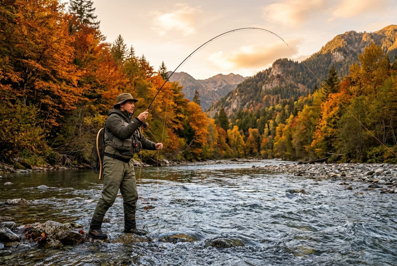
Every angler has experienced the disappointment of pulling up to their favorite river only to find it running bank-full, chocolate brown, and raging. While high river levels create difficult fishing conditions, they do not cause the fish to vanish.
In fact, understanding how fluctuating discharge changes fish behavior and hydraulic positioning can turn a tough day on high water into one of your most productive outings.
How High Flow Changes River Hydraulics
Fish are cold-blooded creatures governed by a strict energy budget. They cannot afford to burn more calories fighting strong currents than they consume from food drifting by.
When a river surges from its normal baseflow (say, 400 CFS) to 2,000 CFS, water velocity in the center channel becomes physically unsustainable for resident trout, smallmouth bass, and walleye.
To survive and feed during flow spikes, fish relocate according to three fundamental rules:
1. Velocity Migration to the Soft Edges
In normal flows, trout hold in mid-stream feeding lanes, behind boulders, and in deep pool drop-offs. During high flows, the main river channel becomes a high-speed torrent. Fish immediately abandon mid-stream holding lies and migrate tightly against the riverbanks.
- Soft Margins: Shallow shoreline shelves where friction from vegetation, roots, and rocks slows water velocity to a crawl.
- Inside Bends: Current is pushed to the outside bend; the inside curve remains relatively gentle and collects drifting forage.
- Flooded Grass and Willow Margins: Earthworms, terrestrials, and larvae are washed into the water as the shoreline floods, creating an immediate bounty for opportunistic feeders.
2. Seeking Deep Hydrodynamic Pockets
In canyon sections where banks are vertical rock walls, fish cannot move sideways into flooded shallows. Instead, they drop straight to the bottom substrate:
- The boundary layer (a micro-zone of slow-moving water directly adjacent to the riverbed caused by bottom friction) allows fish to hug the river bottom with minimal effort.
- Plunge pools and the dead water directly behind large submerged boulders provide hydraulic refuges.
3. Transitioning from Sight to Scent and Lateral Line
In clear water, predatory gamefish are visual hunters. High water carries suspended sediment that reduces visibility from ten feet down to just a few inches.
- Fish rely heavily on their lateral line system to detect low-frequency water vibrations caused by struggling baitfish or tumbling stoneflies.
- They will not move several feet to intercept a small fly or lure; you must present offerings directly within their immediate strike zone.
Tactics for Fishing High Water
Use Large, Dark-Profile Presentations
In muddy, stained water, light colors and realistic translucent materials wash out.
- Choose high-contrast patterns: solid black, dark purple, and deep olive create a crisp silhouette against turbid background water.
- Incorporate bulkier profiles, such as rabbit strip streamers, large articulated patterns, or bulky stonefly nymphs with rubber legs that push noticeable water vibrations.
Target Tributary Confluences
One of the most dependable high-water secrets is finding the mouth of a smaller tributary or spring creek that runs clearer than the main river.
- The junction where clear water mixes with muddy main-stem flow creates a distinct mud line.
- Trout and predatory bass stack up right along the clear side of the seam, waiting to ambush disoriented prey swept down by the dirty current.
Focus on the "Drop and Clear" Window
The absolute best fishing often occurs during the initial stages of the falling limb on a hydrograph—when the river has crested and water clarity begins to transition from opaque brown to tea-colored or emerald green.
- Fish have been holding tight and expending energy during the blowout.
- As clarity returns, their feeding instinct triggers aggressively.
Safety First: Wading Hazards During High Flows
Never compromise personal safety for a fish:
- Do Not Wade Past Knee Depth: High-velocity water exerts exponential hydrostatic pressure. Water that is easy to wade at knee depth can sweep a grown adult off their feet at mid-thigh.
- Use a Sturdy Wading Staff: A third point of contact is essential when walking through stained water where bottom rocks are invisible.
- Always Wear a Cinching Wading Belt: A wading belt prevents water from flooding your waders if you stumble, preserving vital buoyancy.
Want to see this in action? Check real-time river conditions near you.
Explore All Rivers →