
River Flow Safety Guide: High Water, Strainers, and Swiftwater Hazards
Essential safety protocols for understanding swiftwater hazards, identifying strainers and low-head dams, and staying safe when river flows spike.
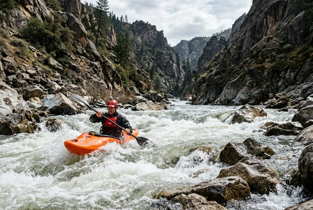
Rivers are dynamic, living systems. When streamflow increases following seasonal runoff or intense rainfall, a calm, scenic float can transform into a fast-moving, high-consequence environment within hours.
Understanding river flow rates and physical river hydrology is the single most important skill for staying safe on the water. Here is a breakdown of the primary swiftwater hazards and how to assess flow conditions before you launch.
1. High Water and Flow Volume
When a river reaches high discharge (high CFS), several critical physical dynamics change simultaneously:
- Current Velocity Multiplies: Water speed does not increase linearly with volume; narrower river sections (choke points and canyons) compress the volume, multiplying the water speed exponentially.
- Eddy Lines Become Violent: High differential speed between the main current and slack water creates strong boils, whirlpools, and unstable shear lines that can easily flip kayaks and canoes.
- Reduced Reaction Time: At 2 mph, you have ample time to scout downstream obstacles and pick a line. At 8 mph, you cover roughly 12 feet per second, dramatically cutting down the time you have to avoid obstacles.
- Turbidity and Submerged Obstacles: High flows scour sediment, turning clear water opaque brown. You cannot visually confirm water depth, hidden boulders, or submerged timber.
Rule of Thumb: If a gauge reading shows flow significantly above the median percentile (or trending toward Action Stage), recreational floating should be postponed until the hydrograph begins its receding limb.
2. Strainers: The River's Most Lethal Trap
A strainer is any obstacle in the river that allows water to pass through while trapping solid objects (such as boats and people).
Common strainers include:
- Fallen trees along eroding riverbanks (sweepstakes).
- Overhanging branches submerged during high water.
- Root wads lodged in gravel bars.
- Bridge pilings entangled with flood debris.
Why Strainers Are So Dangerous
Water exerts enormous hydraulic force. Even a moderate flow of 3 to 4 mph pushing against a human body pinned against a log produces hundreds of pounds of pressure—far more force than any individual can push away from. Water quickly forces the pinned person underwater.
How to Mitigate Strainer Hazards
- Always Scout Blind Bends: Never float around a blind corner where riverbanks are heavily forested without scouting or hugging the inside turn where current is slowest.
- Aggressive Ferrying: If you spot a strainer ahead, do not wait. Immediately turn your boat at an angle and ferry hard across the current toward the clear channel.
- If Swimming Toward a Strainer: If you are out of your boat and cannot avoid hitting a log, aggressively swim toward it and throw your chest on top of the log to pull yourself out of the water, rather than allowing your legs to get sucked underneath.
3. Low-Head Dams ("Drowning Machines")
Low-head dams (often called weirs) are small man-made structures designed to pool water for irrigation or municipal intakes. From upstream, they look innocuous—often appearing as a subtle horizon line across the river surface.
However, the downstream side of a low-head dam creates a continuous, recirculating hydraulic roller (a keeper hole).
- Water plunging over the weir creates a reverse surface current that pulls objects back toward the dam face.
- Highly aerated water inside the boil has low buoyancy; life jackets provide significantly less flotation in foam than in solid water.
- These hydraulics are almost impossible to escape without external rescue ropes.
Action: Always research the entire reach of river you plan to paddle. Portaging around any low-head dam on dry land is mandatory.
4. Cold Water Shock and Hypothermia
Spring runoff often coincides with sunny, warm air temperatures (70°F+), tempting recreationists to launch without thermal protection. However, melting snow feeds rivers with water temperatures often hovering between 40°F and 50°F.
- Cold Shock Response: Sudden immersion causes an involuntary gasping reflex. Inhaling water during this gasp is the primary cause of immediate cold-water drowning.
- Physical Incapacitation: Within 10 minutes of immersion, blood flow retreats to the core, causing loss of fine motor skills in hands and arms, making swimming or grabbing a throw rope impossible.
Always dress for the water temperature, not the air temperature, and wear an appropriately fitted, Coast Guard-approved Personal Flotation Device (PFD).
Essential Swiftwater Safety Equipment
Whenever river discharge pushes past normal seasonal percentiles, personal river rescue gear transforms from optional accessories into life-saving necessities:
Summary Checklist Before Launching
Before stepping onto any river:
- Check Live USGS Streamflow: Confirm the current CFS and stage height on ClearGauge and check whether the trend is rising, cresting, or falling.
- Review NWS Alerts: Verify that no Flash Flood Watches or River Flood Warnings are in effect for the watershed.
- Equip Essential Gear: Life jacket (worn at all times), river whistle, throw bag, and appropriate thermal layers (wetsuit or drysuit if water is below 60°F).
- File a Float Plan: Leave details of your put-in, take-out, expected timeline, and vehicle descriptions with a responsible contact on land.
Want to see this in action? Check real-time river conditions near you.
Explore All Rivers →