
Spring Runoff and Snowpack: How Mountain Melt Dictates River Seasons
Learn how snow water equivalent (SWE), diurnal temperature fluctuations, and spring runoff drive high water seasons across American rivers.
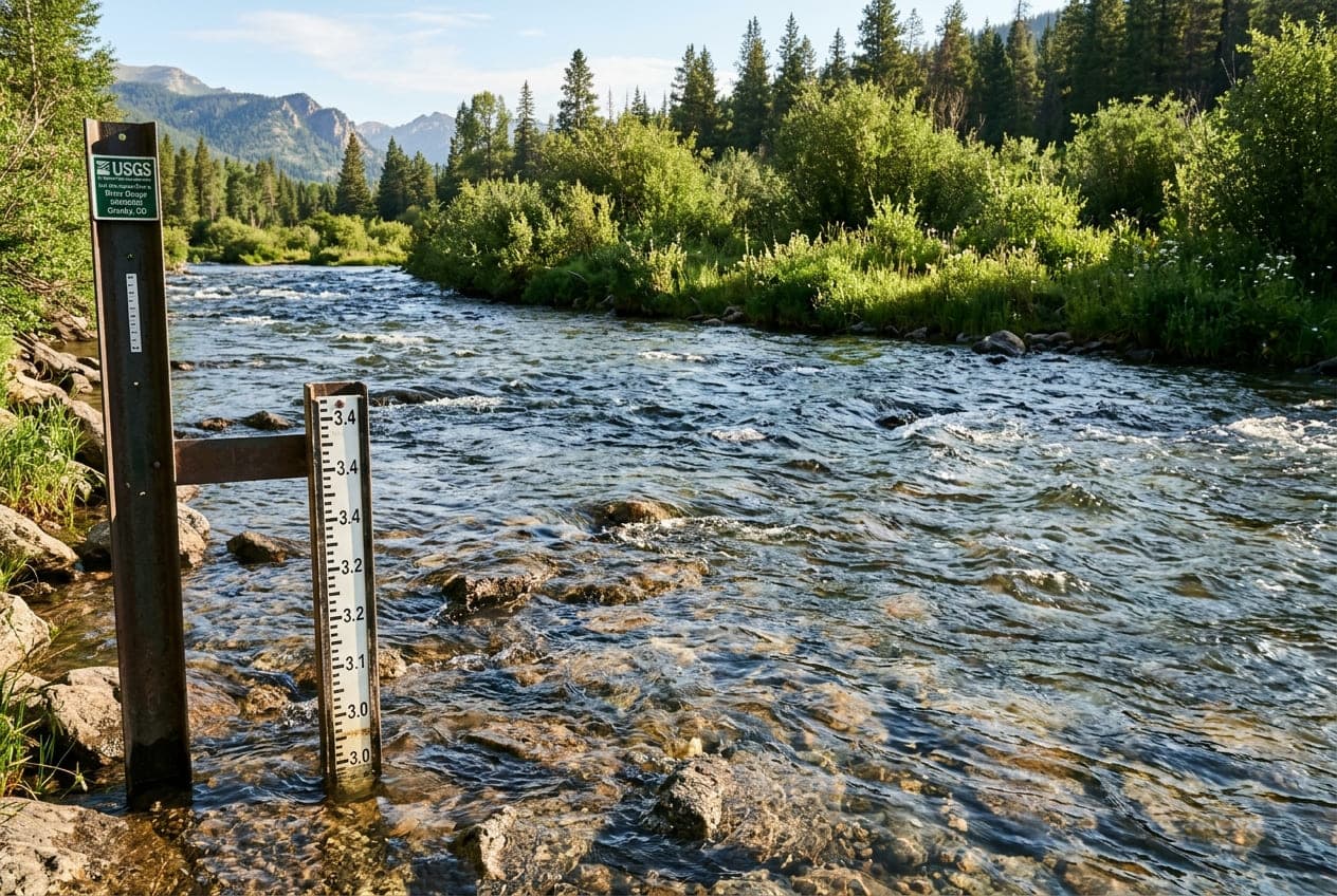
For outdoor enthusiasts across North America, the transition from winter to spring marks the beginning of the river season. But unlike rain-driven rivers that rise and fall over 48-hour periods, snowmelt-driven river systems operate on a vast, seasonal hydrological clock.
Understanding how winter snowpack transforms into springtime streamflow is key to planning safe whitewater expeditions and productive fishing seasons.
Snow Water Equivalent (SWE): The Fuel Tank
Winter snowpack depth is often measured in inches or feet, but hydrologists care about Snow Water Equivalent (SWE).
SWE is the depth of water that would theoretically result if the entire snowpack instantly melted.
- Light, powdery snow might have an SWE ratio of 10:1 or 20:1 (20 inches of snow melts down to 1 inch of water).
- Dense, compacted maritime snowpack or late-spring corn snow can have an SWE ratio of 3:1 or 4:1.
The Natural Resources Conservation Service (NRCS) operates an automated telemetry network called SNOTEL (Snowpack Telemetry) across Western mountains. Tracking SNOTEL basin percentages relative to historical medians provides an early indicator of what spring river discharge will look like months before ice clears.
The Progression of Spring Runoff
Spring runoff typically follows three distinct hydrological stages:
Phase 1: Snowpack Ripening
Before snow can produce substantial river runoff, the snowpack must become isothermal (reaching a uniform temperature of 32°F / 0°C throughout its layers). During early spring, warm daytime surface melt percolates downward and refreezes in colder subterranean snow layers. Only when the entire pack is "ripe" does liquid water begin to drain into headwater streams.
Phase 2: Peak Runoff (The Blowout)
When prolonged warm spells arrive—especially accompanied by overnight temperatures remaining above freezing—melt occurs across all elevations simultaneously.
- River Characteristics: Rivers experience high turbulence, zero visibility (heavy suspended glacial silt and sediment), floating log hazards, and dangerous swiftwater currents.
- Impact on Angling: Trout and other gamefish are pushed tightly against stream banks or into bottom eddies to escape high hydraulic drag; fishing is generally blown out.
- Impact on Paddling: Whitewater sections reach peak volume; rapids wash out into huge wave trains, while dangerous hydraulic holes and keeper features become significantly more powerful.
Phase 3: The Recession and Clearing
As the snowpack at low and mid-elevations depletes, runoff stabilizes and gradually diminishes.
- Water clarity transitions from dark brown or murky gray back to emerald green and crystalline clear.
- Insect hatches (such as stoneflies, caddis, and mayflies) trigger aggressive feeding cycles among predatory fish.
- Summer river levels establish their seasonal baselines.
How Rain-on-Snow Accelerates Runoff
The most volatile spring flood scenarios occur when a warm atmospheric river storm delivers heavy precipitation directly onto an existing snowpack (a Rain-on-Snow event).
Contrary to common belief, it is not merely the warmth of the rainwater that melts the snow. Rather:
- Condensation of moist air on cold snow releases latent heat of vaporization, transferring enormous thermal energy directly into the snowpack.
- Rainwater percolates rapidly through existing melt channels.
- Snowpack releases water simultaneously across thousands of square miles, causing rapid river stage spikes that frequently exceed major flood thresholds.
Monitoring Snowmelt Rivers with ClearGauge
When following snowmelt rivers on ClearGauge:
- Compare real-time discharge with historical percentile baselines (p10, p50, p75, p90) to understand whether this year's runoff is running ahead of or behind historical averages.
- Check 7-day flow curves to observe the characteristic daily diurnal melt wave before committing to morning trips on the water.
Want to see this in action? Check real-time river conditions near you.
Explore All Rivers →